Integrating with Python
This page gives some examples of integrating mappyfile into Python based work flows.
Displaying Geometry
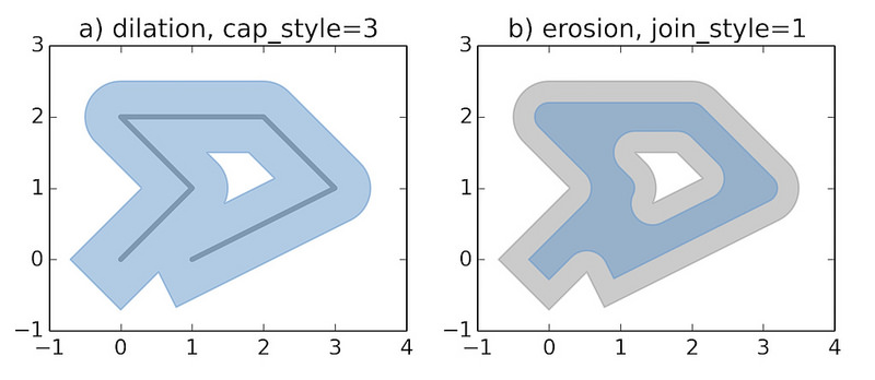
The examples below recreates the sample images used in the Shapely documentation.
See geometry.py and geometry.map.
mapfile["size"] = [600, 600]
Dilated
def dilation(mapfile):
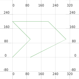
line = LineString([(0, 0), (1, 1), (0, 2), (2, 2), (3, 1), (1, 0)])
ll = mappyfile.find(mapfile["layers"], "name", "line")
ll["features"][0]["wkt"] = line.wkt
dilated = line.buffer(0.5, cap_style=3)
pl = mappyfile.find(mapfile["layers"], "name", "polygon")
pl["features"][0]["wkt"] = dilated.wkt
mapfile["extent"] = " ".join(map(str, dilated.buffer(0.8).bounds))
return dilated
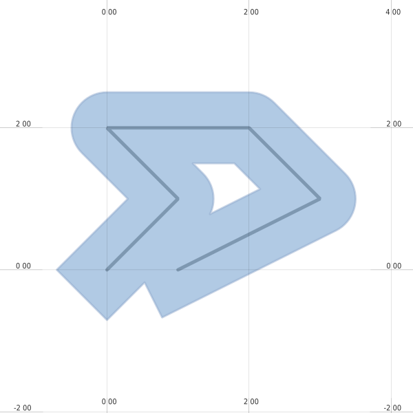
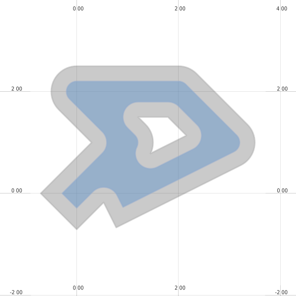
Eroded
def erosion(mapfile, dilated):
    """
    We will continue to work with the modified Mapfile
    If we wanted to start from scratch we could simply reread it
    """
    ll = mappyfile.find(mapfile["layers"], "name", "line")
    ll["status"] = "OFF"

    pl = mappyfile.find(mapfile["layers"], "name", "polygon")

    # make a deep copy of the polygon layer in the Map
    # so any modification are made to this layer only
    pl2 = deepcopy(pl)

    pl2["name"] = "newpolygon"
    mapfile["layers"].append(pl2)

    dilated = dilated.buffer(-0.3)
    pl2["features"][0]["wkt"] = dilated.wkt

    style = pl["classes"][0]["styles"][0]
    style["color"] = "#999999"
    style["outlinecolor"] = "#b2b2b2"
Animated Buffers
See animated_buffer.py and animated_buffer.map.